Asset Mapping and Road Condition Monitoring
A pilot project in setting up an Integrated Asset Management System (IAMS) for Public Works Department Sarawak is currently in progress. The project, driven by Techninier Sdn. Bhd., is current... Read More


A pilot project in setting up an Integrated Asset Management System (IAMS) for Public Works Department Sarawak is currently in progress. The project, driven by Techninier Sdn. Bhd., is current... Read More

A pilot project to use GeoEnviron Database Management System as the base tool to manage assets data and information has been initiated by Techninier Sdn. Bhd. for Public Works Department... Read More

Innovative UAV aerial mapping solution utilising and digital surface and terrain modelling has been used to map up difficult terrain such as dam reservoir in Sarawak. By combining a mixture... Read More
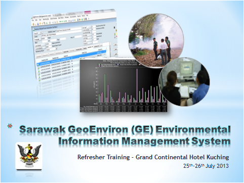
An internal training on Sarawak GeoEnviron Information System under the State Government of Sarawak will be held from 25-26th July 2013. Eco-Ideal will be facilitating the training and enhancing the... Read More
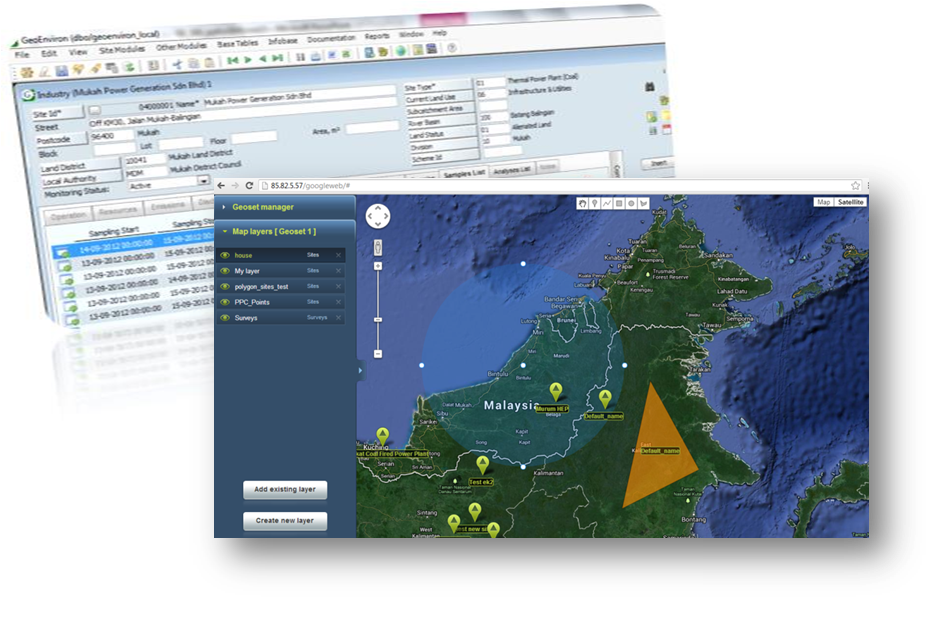
Google map is a popular web based map application which is widely used globally. Developer of GeoEnviron (GE) recognised the importance to integrate with such popular application. In addition to... Read More

Sarawak Energy Berhad (SEB) plays a prominent role in the power sector in State of Sarawak, Malaysia. Through its wholly subsidiary Syarikat SESCO Berhad, SEB is responsible for the generation,... Read More

To download: Integrated Environmental Information Management... Read More

Eco-Ideal Systems successfully registered with Contractors and Consultants Registration Unit (Unit Pendaftaran Kontractor dan Juruperunding ,UPKJ) as a Supply and Service... Read More

Leica DISTO A5 Laser Distance Meter, the most versatile Optimum functionality – with ergonomic design Indoors or outdoors: The Leica DISTO A5 id your ever-reliable partner The Leica DISTO A5... Read More
• Top